Defense Simulation Infrastructure

Where Defence AI Learns in Simulation Before Reality

Astraion builds high-fidelity simulation environments with integrated reinforcement learning pipelines for training and validating autonomous defence systems in complex operational scenarios before deployment.

Overhead isometric view of procedurally generated European coastal industrial zone rendered as a high-fidelity digital twin, cyan bounding box annotations marking infrastructure objects, overcast cool daylight, precise grid geometry visible at terrain edges
Three Core Pillars

Build the World. Train the Intelligence.

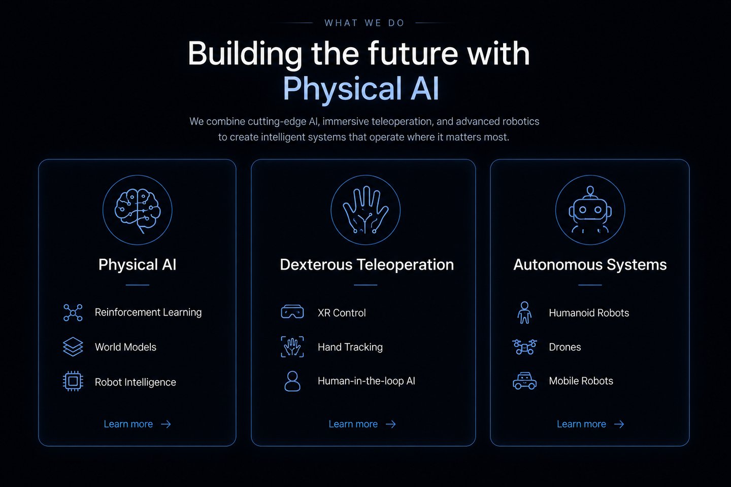
Three integrated layers — environment fidelity, sensor physics, and RL training infrastructure — designed to close the gap between simulation and deployment.

Simulation Environment
Digital Twin Engine
RL Training Stack

Photorealistic Autonomous Simulation

Real Terrain, Procedural Conditions

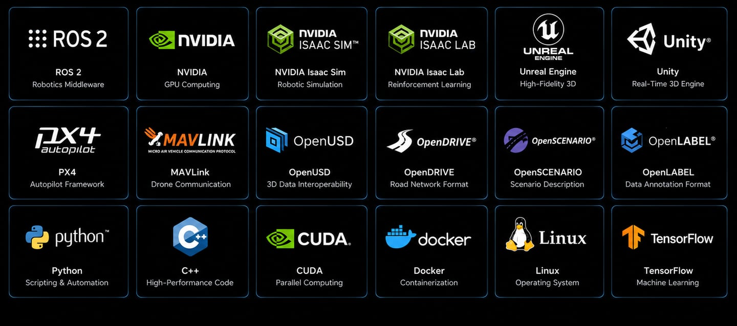
PPO, SAC, Multi-Agent at Scale

European terrain replication, procedural weather generation, and synthetic dataset output with labeled 3D bounding boxes — export-ready for certification pipelines.

RL-based navigation, ROS2 integration, and multi-sensor fusion running inside Unreal Engine-grade environments at full scene fidelity.

Distributed training across multi-agent flight formations, with edge deployment pipelines — reinforcement learning without a single flight hour consumed.
Extreme close-up of a LiDAR point cloud sensor fusion visualization panel, cyan point clusters forming the silhouette of an autonomous drone above a textured terrain mesh, labeled 3D bounding boxes in thin white lines, cool studio lighting on dark graphite background, data grid faintly visible
— Synthetic Data at Scale

Labeled to the LiDAR Point

Every generated scene ships with fully annotated sensor streams — LiDAR point clouds, radar returns, camera channels — structured for certification-grade validation workflows, not just research demos.

Procedural variation across thousands of flight scenarios gives models more edge-case exposure than any live test programme could provide within a comparable timeline.

Your test range is infinite. Begin inside the simulation.

Evaluate Astraion's simulation environments, RL tooling, and synthetic data pipelines — research-grade infrastructure, ready for your autonomy programme.