


/ Defense & Research Verticals
Simulation-First Intelligence for Autonomous Systems
From critical operations to industrial automation, our platform enables the next generation of intelligent robotic systems.
Critical Remote Operations
Enable robots to safely operate in environments involving radiation, toxic chemicals, extreme temperatures, confined spaces, or disaster zones where human access is unsafe.
Defense & Security
Train and deploy robots and drones for reconnaissance, explosive ordnance disposal (EOD), surveillance, logistics, and tactical operations while keeping personnel out of harm's way.
Industrial Inspection
Perform remote inspections, equipment maintenance, valve operations, and asset monitoring in hazardous facilities such as refineries, power plants, and offshore platforms.
Search & Rescue
Deploy autonomous robots and drones for disaster assessment, victim search, debris inspection, and emergency response in collapsed buildings, wildfire zones, or flood-affected areas.
Aerospace & Defense Manufacturing
Assist with aircraft assembly, inspection, composite repair, precision fastening, and maintenance tasks where accuracy and repeatability are critical.
Autonomous Robot Training
Accelerate the development of intelligent robots using simulation, synthetic data generation, human demonstrations, and reinforcement learning before real-world deployment.
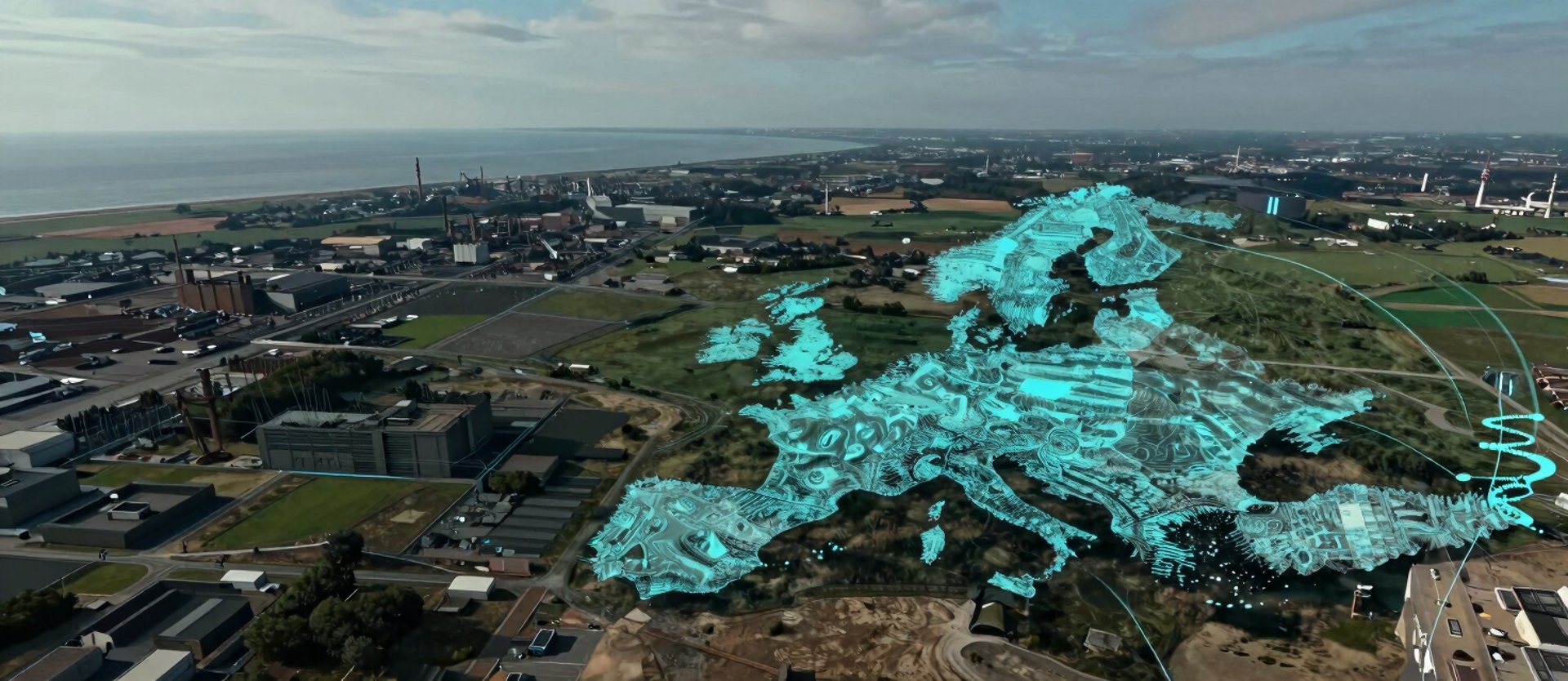
Environments Built for Your Mission Profile
GPS · LiDAR · Radar · Optical Flow
Real terrain replicated at sub-metre resolution from satellite and survey sources. Procedural weather, cloud cover, precipitation, and electromagnetic degradation generate sensor-relevant conditions without manual scene authoring.
All four sensor modalities rendered with calibrated noise profiles. Fusion algorithms train on data that mirrors real sensor disagreement under fog, rain, and signal degradation.
Map Your Mission to a Simulation Environment
Astraion's team works directly with program managers and research leads to configure domain-specific environments. Research inquiries are replied to within one business day.